The Washington Department of Ecology made an interim update to the North Puget Sound Geographic Response Plan (GRP). This update included minor revisions to GRP strategies NPS-07, NPS-73, NPS-74, and NPS-75. The updates were due to private property concerns on Gulf Road (NPS-07) and the sale of the Shell Puget Sound Refinery in Anacortes, WA to Holly Frontier on November 1st, 2021 (NPS-73-75). These strategies now reflect the correct contact information for responders and clarify points of reference near the Puget Sound Refinery. Those who maintain physical copies of the North Puget Sound GRP should replace the 2-pagers updated and those who maintain electronic copies of the plan should download the newest version.
The updated 2-pagers can be downloaded here: https://www.oilspills101.wa.gov/northwest-area-contingency-plan/geographic-response-plans-grps/north-puget-sound-grp/
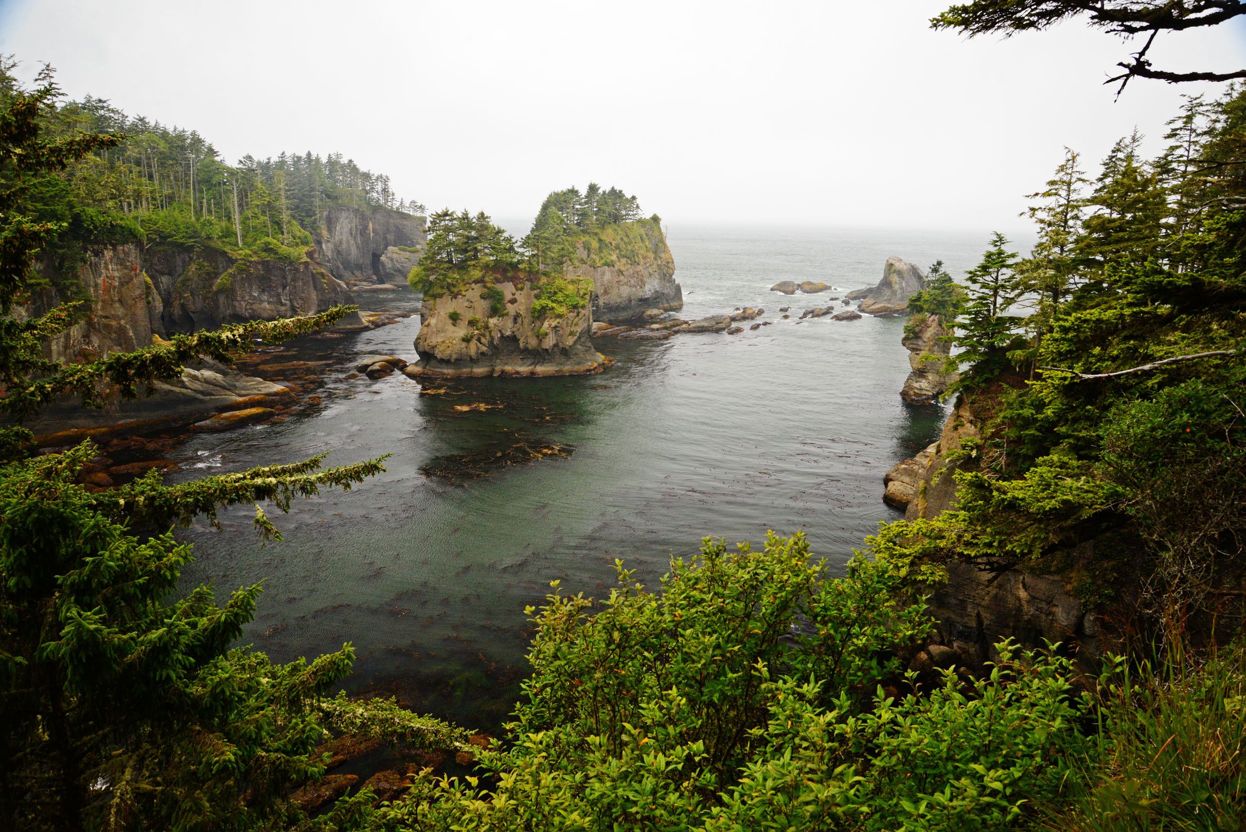
Description of the Covered Area
The North Puget Sound GRP boundaries are, generally, Point Roberts and the Canadian Border to the north, Fidalgo Island to the south, Rosario Strait and Orcas Island on the west, and mainland Washington to the East. This region includes Boundary Bay, Semiahmoo Bay, Drayton Harbor, Birch Bay, Lummi Bay, Bellingham Bay, Padilla Bay, Fidalgo Bay, Burrows Bay, Swinomish Channel, and mouths of the Samish, Nooksack, and Lummi Rivers. The communities of Blaine, Birch Bay, Ferndale, Bellingham, the Lummi Indian Nation, the Swinomish Indian Tribal Community, the Samish Indian Nation, and Anacortes are located within the boundaries of this planning area, as well as portions of Whatcom, Skagit, and San Juan Island counties in Washington.
What are Interim Updates
Geographic Response Plans (GRPs) are “living documents” and are updated regularly to reflect changes in the environment, resources at risk, contact information, or after deployment exercises. Ecology encourages anyone interested to use our interim update form to improve any portion of the geographic response plan.
What are Geographic Response Plans?
Geographic Response Plans (GRPs) guide early response actions in the event of an oil spill. Ecology develops and updates GRPs in collaboration with state, local and federal agencies and tribes. Each GRP is written for a specific area (for example a river, a lake, or section of Puget Sound), and includes tactical response strategies tailored to a particular shore or waterway at risk of injury from oil.
GRPs have two main objectives:
- Identify sensitive natural, cultural or significant economic resources at risk of injury from oil spills.
- Describe and prioritize response strategies in an effort to reduce injury to sensitive natural, cultural, and certain economic resources at risk from oil spills.
More Information
- See GRPs for the Northwest Area (Washington, Oregon, and Idaho)
- Learn more about GRPs
- How to submit an interim update
Questions?
darcy.bird@ecy.wa.gov
Department of Ecology, Spills Program
PO Box 47600
Olympia, WA 98504-7600