Howdy, OilSpills101 Blog Reader!

I am Darcy Bird, an oil spill preparedness planner with Ecology, and excited to announce the North Central Puget Sound (NCPS) Geographic Response Plan (GRP) is now open for public comment!
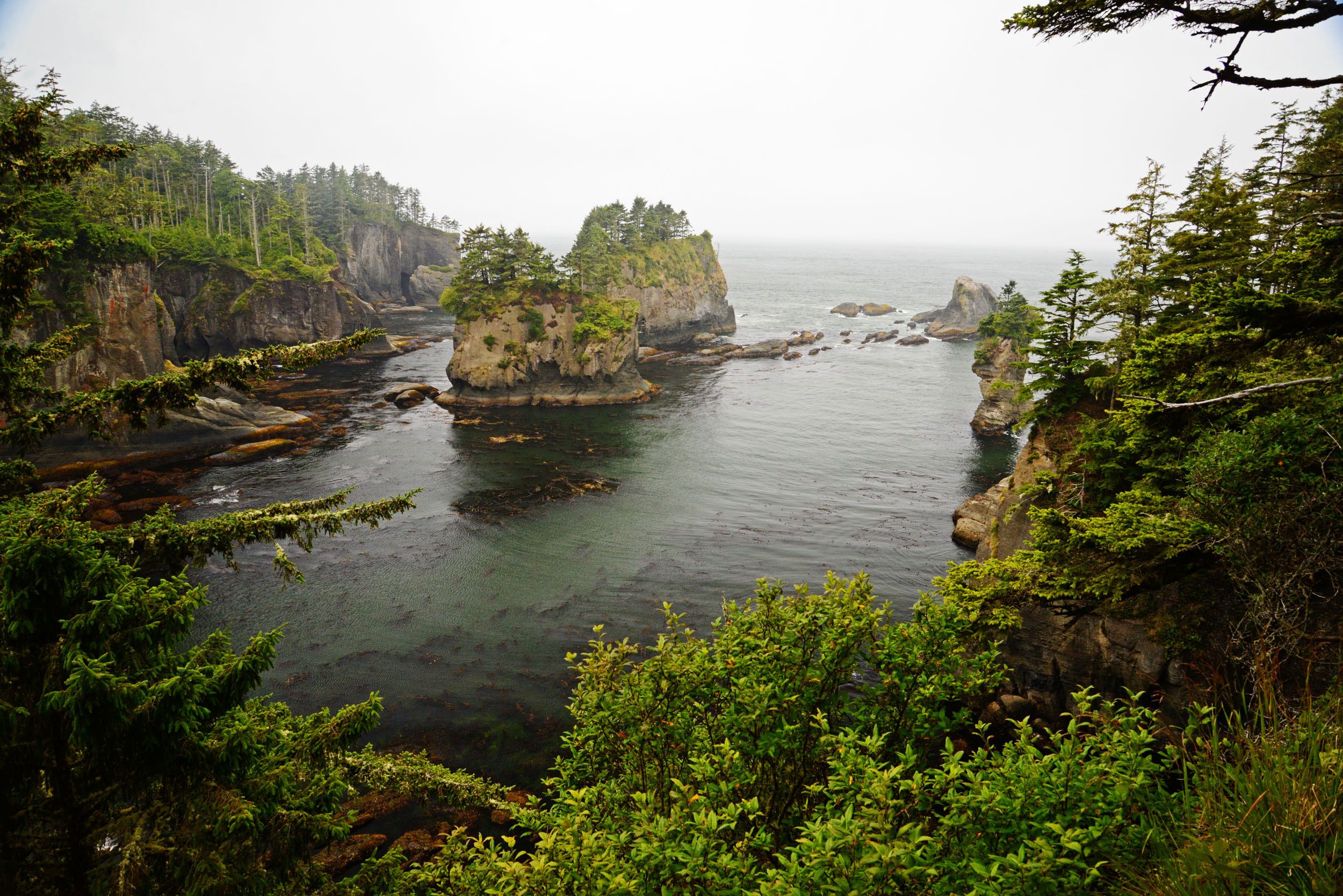
GRPs aim to protect the sensitive natural, cultural, and economic resources in a specified geographic area. The geographic areas in Washington State with GRPs have associated risks from oil spills; industry may transport, store, refine, or transfer oil in these regions. The North Central Puget Sound area, bounded by Mukilteo to the South, Fidalgo Island to the North, Mainland Washington to the East, and Whidbey Island to the west, has unique risks, logistical concerns, and sensitive resources that I researched, conducted fieldwork on, and updated the strategies for during the plan update. A key part of this process is gathering input from the people who work, live, and play in this community. I hope to hear from you during this public comment period (September 18th– October 18th)!
Ecology last updated the North Central Puget Sound GRP in 2011, and much had changed in the region since then. For instance, two restoration projects in the Stillaguamish River Delta had made one strategy obsolete (NC-15). The Stillaguamish Tribe and the Washington State Department of Fish and Wildlife (WDFW) had both completed projects to reconnect the Stillaguamish Delta to tidal influence. Removing dikes to restore estuarine habitat allowed water to flow around the boom configuration identified in the plan. During this update, I changed the location of this exclusion boom to further up-river on the Stillaguamish (NC-15.1) to protect these restoration projects. A plan is only as good as the maintenance of that plan, which is why Ecology tries to regularly update GRPs.
Additionally, work done on the FV Deep Sea spill response led me to add strategies to the plan. Penn Cove, on Whidbey Island, has a number of public recreation shellfish beaches, privately owned shellfish aquaculture, and sensitive lagoon habitats. A fishing vessel fire and sinking in 2012, releasing 5,000 gallons of diesel into the environment, threatening these resources. During this incident, responders identified resources not included in the plan at the time. I have added NC-18.1, NC-18.2, NC-18.3, and NC-18.4 as a result of lessons learned from this incident to protect three lagoons in Penn Cove.
I grew up in Anacortes, WA, due north of this planning area, and many of the sites I visited in the course of my fieldwork were beaches and boat launches I had visited regularly as a child. Updating this GRP allowed me to view an area I had grown up in through a different lens and to help protect resources I loved dearly. The maintenance of these geographic response plans are vital to our state’s preparedness in the event of an oil spill. Please follow the links below to review the draft of the updated GRP or provide comments. You may also submit comments by mail or email. Feel free to reach out to me with any questions or concerns at darcy.bird@ecy.wa.gov or 360-480-2084.
Review the draft GRP: https://fortress.wa.gov/ecy/ezshare/sppr/Preparedness/NCPS-GRP/NCPS_PublicReviewCoverPage.pdf
Comment online:
Use our online comment form http://sppr.ecology.commentinput.com/?id=dDcFp
Comment by mail:
Darcy Bird
Department of Ecology, Spills Program
PO Box 47600
Olympia, WA 98504-7600