Howdy, OilSpills101 Blog Reader!

It is Darcy Bird again! I am excited to announce another plan I updated, the North Puget Sound (NPS) Geographic Response Plan (GRP), is now open for public comment!
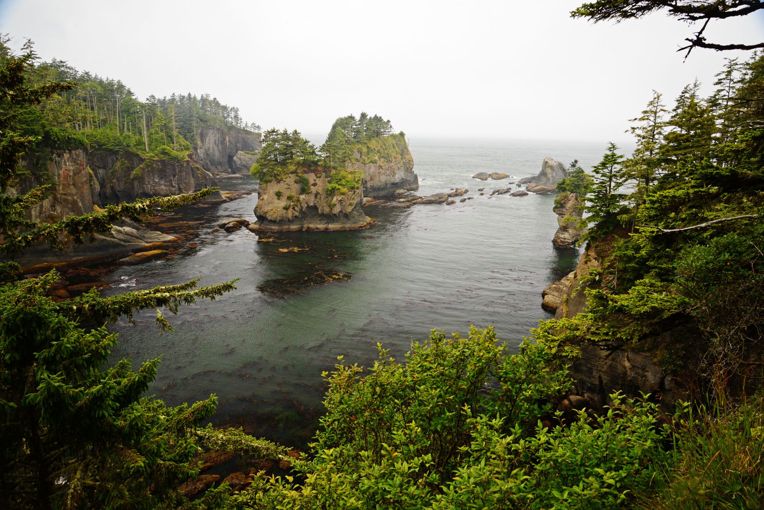
GRPs aim to protect the sensitive natural, cultural, and economic resources in a specified geographic area. The geographic areas in Washington State with GRPs have associated risks from oil spills; industry may transport, store, refine, or transfer oil in these regions. The NPS GRP, encompassing the marine waters between the San Juan Islands to the east, mainland Washington to the west, Fidalgo Island to the south and the Canadian Border to the north, has unique risks, logistical concerns, and sensitive resources that I researched, conducted fieldwork on, and updated the strategies for during the plan update. A key part of this process is gathering input from the people who work, live, and play in this community. I hope to hear from you during this public comment period (December 21– February 15, 2021)!
Ecology last updated the North Puget Sound GRP in 2011 and much had changed in the region since then. For instance, research provided by the Washington Department of Fish and Wildlife determined that the location of an oil collection strategy on Samish Island was critical waterfowl habitat. We revised this strategy to exclude oil from beach habitat, rather than collect oil on the beach, an important change to protecting sensitive resources in Washington State. Our partners with the Lummi Indian Nation’s Oil Spill Response Team also provided important updates to GRPs on the Lummi Reservation. Through meticulous review of strategies, regular drilling of those strategies, and extensive fieldwork, the Lummi Nation Oil Spill Response Team have improved the many GRPs on the Lummi Reservation. Additionally, workshop attendees identified critical resources at risk at the unique and sensitive Padilla Bay National Estuarine Research Reserve. Scientists from the reserve identified research stations previously absent from the plan, critical habitat to prioritize and protect, and access points to strategies not easily navigate to by boat. These updates improved the response strategies in Padilla Bay enormously. A plan is only as good as the maintenance of that plan, which is why Ecology tries to regularly update GRPs.

I grew up in Anacortes, WA, within this planning area, and many of the sites I visited in the course of my fieldwork were beaches and boat launches I had visited regularly as a child, teen, and places I regularly visit as an adult. As a teen, I participated in eelgrass replanting efforts in the region and learned about Marine Biology on the docks of Cap Sante Marina. Updating this GRP allowed me to view an area I had grown up in through a different lens and to help protect resources I love dearly. The maintenance of these geographic response plans are vital to our state’s preparedness in the event of an oil spill. Please follow the links below to review the draft of the updated GRP or provide comments. You may also submit comments by mail or email. Feel free to reach out to me with any questions or concerns at darcy.bird@ecy.wa.gov or 360-480-2084.
Review the draft GRP: https://fortress.wa.gov/ecy/ezshare/sppr/Preparedness/NPS-GRP/NPS_PublicReviewCoverPage.pdf
Comment online:
Use our online comment form http://sppr.ecology.commentinput.com/?id=NVpi7
Comment by mail:
Darcy Bird
Department of Ecology, Spills Program
PO Box 47600
Olympia, WA 98504-7600

