What are Geographic Response Plans?
Oil spills pose a risk to sensitive environmental, cultural, and economic resources. One important tool in our planning toolbox is the Geographic Response Plan (GRP). GRPs contain pre-identified strategies for specific areas of the state at risk from oil spills. These are pre-approved plans that guide early response actions during oil spills. A list of all Washington State GRPs, including those open for comprehensive updates, can be found online at OilSpills101.wa.gov.
GRP Updates: Comprehensive vs. Interim
GRPs are periodically updated to ensure the information is relevant and up-to-date. These comprehensive updates require a lot of work and often take a year or two to complete. Work is coordinated with other state and federal agencies, tribes, industry partners, oil spill response professionals, and communities.
GRPs Open for Comprehensive Updates
GRPs currently open for comprehensive updates are listed below, along with the contact information if you have questions or want to participate. Included are any comprehensive GRP updates published in 2024.
- Lake Washington – Comprehensive Update Published April 2024!
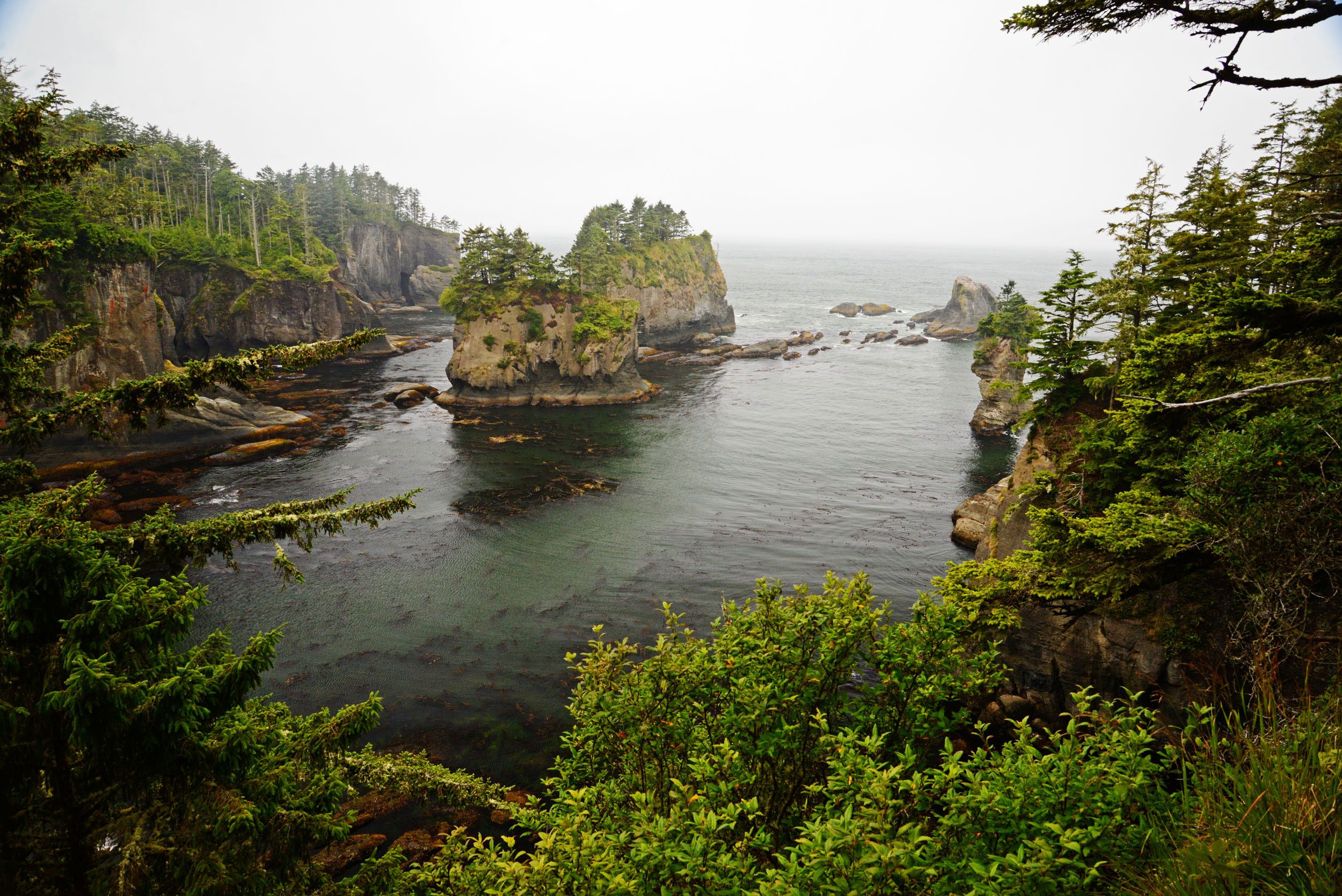
- Outer Coast – David Prater at David.Prater@ecy.wa.gov
- Middle Columbia River-Bonneville Pool – Max Gordon at Max.Gordon@ecy.wa.gov
- South Puget Sound – Kaitlin Lebon at Kaitlin.Lebon@ecy.wa.gov
- Lower Columbia River – Max Gordon at Max.Gordon@ecy.wa.gov
- Strait of Juan de Fuca – Wendy Buffett at Wendy.Buffett@ecy.wa.gov
- Snake River: Lower Monumental Pool, Little Goose Pool, Lower Granite Pool – Scott Zimmerman at Scott.Zimmerman@ecy.wa.gov
- Admiralty Inlet – Sabrina Floudaras at Sabrina.floudaras@ecy.wa.gov
- Green/Duwamish River and Upper Green River – Nora Haider at Nora.Haider@ecy.wa.gov
Interim GRP Updates during Winter 2024
Because a lot can change in a GRP planning area between comprehensive updates, Ecology is committed to conducting interim GRP updates when necessary. Examples of interim updates include improvements to response strategies resulting from lessons learned during oil spill drills or actual spills, updated contact information, changes to driving directions, and other response-enhancing edits. Ecology publishes interim updates to GRPs on a quarterly basis. Interim updates completed this quarter include the following:
- Grays Harbor – GRSC–0.1
- Hood Canal – Economic Resources at Risk (pdf)
- North Puget Sound – Economic Resources at Risk (pdf), NPS-03, new Notification Strategy ELZ-1-N
- Central Puget Sound – CPS-160a and CPS-160b, new Notification Strategy CPS-160-N
Everyone has a Role in Improving the State’s GRPs
Oil industry regularly exercises oil spill contingency plans to ensure their readiness to respond to an oil spill. These exercises often involve the deployment of GRP strategies. Each deployment is an opportunity to validate a response strategy’s effectiveness, and to make improvements if it is necessary.
GRPs also rely on feedback from professional oil spill responders, natural resource agencies, tribes, and the public. This valuable feedback is reflected in either a comprehensive update or the interim update process.
If you have information or ideas that can make GRP’s even more effective, Ecology wants to know! Please email GRP feedback to GRPs@ecy.wa.gov. If you are visiting a response strategy site, you can use our new GRP Strategy Assessment Form to help document your assessment. We thank you in advance for helping the Northwest Area Committee maintain a high level of readiness to respond to oil spills.


