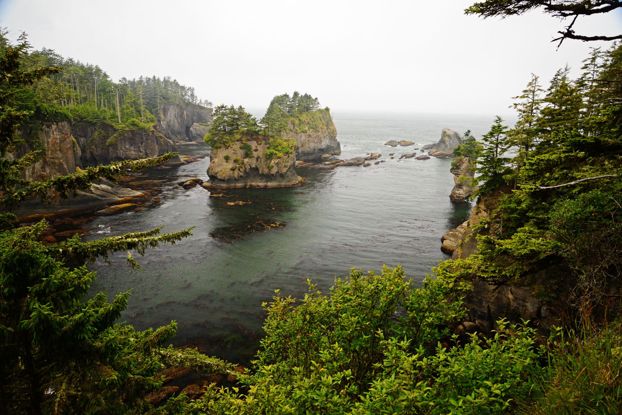
Contributed by Department of Ecology
We are planning for potential NFO response by analyzing the properties of Washington’s waterways including depths, water density, sediment load, currents, seafloor substrate types, and shoreline types. Areas of relatively higher risk would represent locations where sunken oil may collect and maybe areas of focus for surveys after a spill of heavy oil or after observations of oil weathering and some portion sinking during a spill. The stage of risk assessment in our planning is not a guarantee that oil will submerge or collect in these areas or that these conditions will definitely cause the oil to sink that is otherwise floating. But we are considering:
- Water density: If spilled oil is denser than the receiving water, it sinks. Heavy oils spilled to less dense water or freshwater may result in the oil sinking more quickly.
- Water turbidity: Turbulence can result in sedimentation that increases an oil’s density causing it to submerge or sink. High turbidity in the waterway may result in the formation of oil mineral aggregates which may result in sedimentation and sinking of the oil.
- Waterway currents: Slower currents may allow submerged oil to sink.
- Substrate composition: Mud is found in low-energy areas, where sunken oil may settle, collect, and remain in place.
- Shoreline composition: Sediment mixing happens by oil stranding on a shore and mixing with sandy sediments or by mixing with sediments in the water column by wave action. Wave interaction with sandy beaches can mix sediment into the spill and may result in the formation of tar balls and sinking oil.
- Salinity: Oil is more likely to sink in freshwater, but may refloat in saltwater. We will look for major sources of freshwater in our planning areas which could change the salinity during certain seasons.
- Temperature: Temperature affects the density of oil and slows oil weathering; higher temperatures cause lower oil densities and faster weathering (evaporation). Lower temperatures increase density and reduce evaporation rates. Oil is more likely to sink in cold water. Seasonal temperature changes are more significant than geographic temperature changes in this planning area.
- Sinks: Sinks can be identified using bathymetry data. Sinks are areas where oil may collect if it sinks.
Next blog – A detailed identification of sensitive water column and benthic species at risk.
